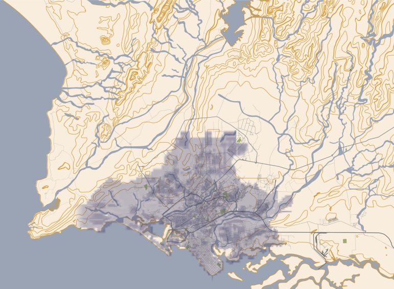
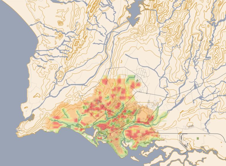
ONE STOP CLIMATIC MAP
This first version serves as a conceptual
one-stop climatic map for Karachi that
identifies areas vulnerable to climate-related
events and their potential impacts.
To achieve a final draft with a higher degree of accuracy, we require various forms of
data, including on-ground surveys of densities and heat levels, satellite archaeological
mapping, topographic surveying, and sea level rise information, among other data.
However, the collection and processing of these data sources are expensive and require
substantial funding.
We have leveraged our map repository to chart historical events that may inform future
projections. Additionally, our katchi abadi map - working draft helps us discern urban
densities and communities that are most susceptible to climate-related impacts. Our
objective is to apply this knowledge to enhance resilience planning, increase awareness,
advocate for action, and implement effective solutions.
ONE STOP CLIMATIC MAP
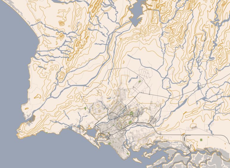
This first version serves as a conceptual one-stop climatic map for Karachi that identifies areas vulnerable to climate-related events and their potential impacts.
To achieve a final draft with a higher degree of accuracy, we require various forms of data, including on-ground surveys of densities and heat levels, satellite archaeological mapping, topographic surveying, and sea level rise information, among other data. However, the collection and processing of these data sources are expensive and require substantial funding.
We have leveraged our map repository to chart historical events that may inform future projections. Additionally, our katchi abadi map - working draft helps us discern urban densities and communities that are most susceptible to climate-related impacts. Our objective is to apply this knowledge to enhance resilience planning, increase awareness, advocate for action, and implement effective solutions.
Water

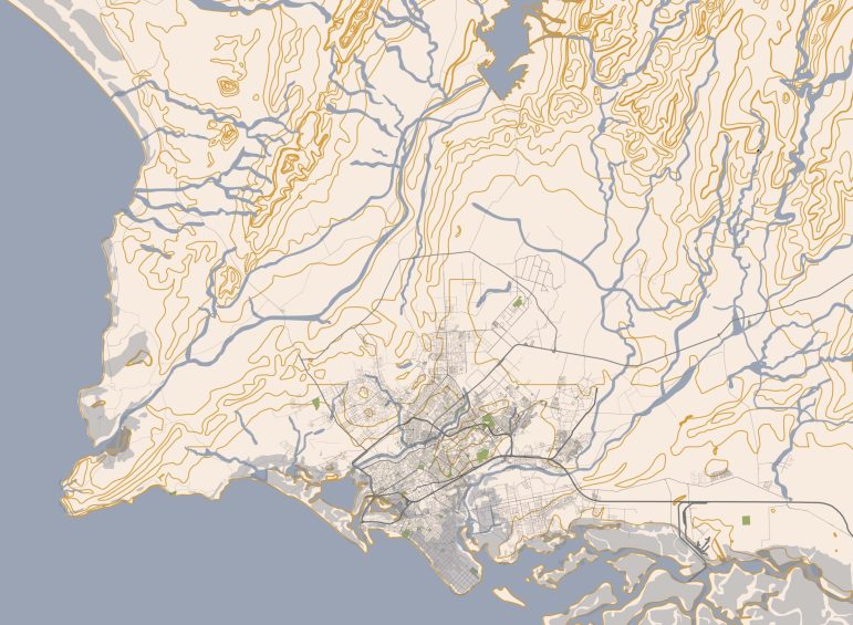
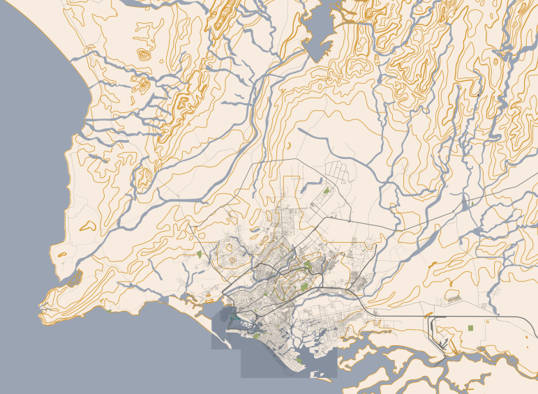
Sea level rise is the gradual increase in the height of ocean
and coastal water levels due to global warming. As the
Earth’s temperature rises, ice on land melts, and seawater
expands, adding more water to the oceans. This leads to an
increase in sea levels over time. To anticipate and prepare
for the impacts of sea level rise, we use the ‘Coastal Risk
Screening Tool – Climate Central’ to map areas that are likely
to be submerged in the future. This information helps us
understand and plan for the potential effects of sea level
rise on Karachi’s coastal communities and ecosystems,
including Keamari, DHA, Clifton and Korangi.
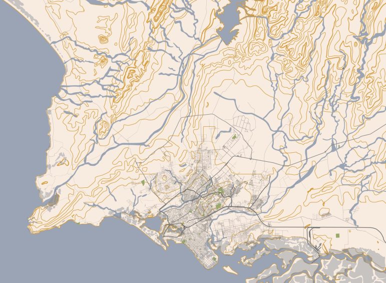
Land subsidence is a growing concern in Karachi, which is
caused by land reclamation – the process of creating new
land by filling low-lying water bodies. In the 1880s, the city
began using this process to expand its land area and
develop its economy. However, the environmental impacts
of this practice were not fully understood at the time,
leading to long-term consequences. Unplanned
construction on reclaimed land has led to instability,
resulting in a decline in mangroves and an increased risk of
erosion and coastal damage. Additionally, katchi abadis
along the coast have resorted to unauthorized land
reclamation, further exacerbating the issue of subsidence.
Read more on: https://www.par.com.pk/blog/karachi-flooding-and-the-infrastructural-mayhem
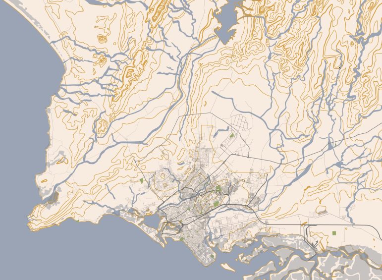
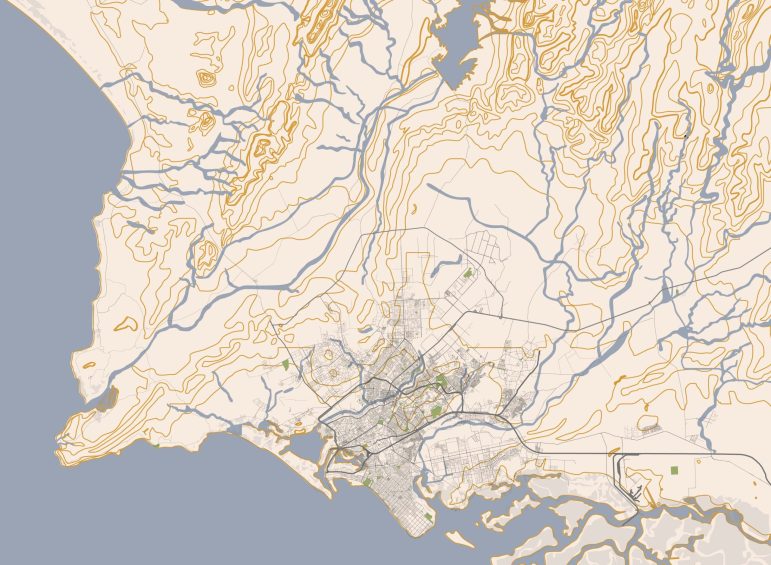
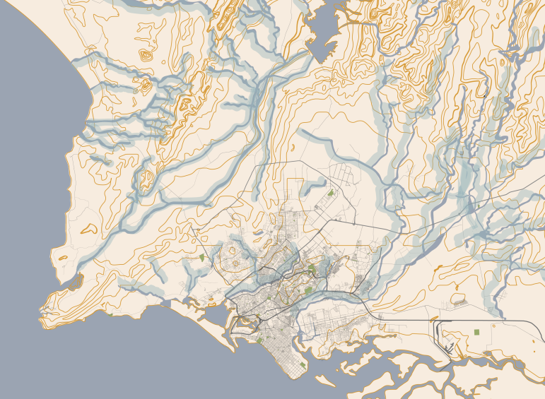
Urban flooding in Karachi is caused by the obstruction of
natural water flow due to human development, sprawl, and
densification. Before settlement, rainwater would collect in
thousands of mini nalas across Karachi’s terrain and flow
into larger nalas, which would eventually empty into rivers
and the Arabian Sea. However, with rapid population
growth and haphazard development, buildings were
erected anywhere, disregarding the city’s drainage system.
During peak monsoons, the obstructed waterways overflow
and release a mixture of rainwater and filth, leading to
urban flooding. Areas next to water paths and/or low in
eare hence most susceptible this.
Read more on: https://www.par.com.pk/blog/karachi-flooding-and-the-infrastructural-mayhem


Air

Heat islands refer to the phenomenon where the temperature in certain urban areas with higher activity is significantly higher than the surrounding areas with lesser activity. In cities like Karachi, rapid urbanization has led to a decrease in natural vegetation, an increase in concrete and asphalt surfaces that absorb and retain heat. Moreover, high-rise buildings trap the heat, and the lack of open spaces exacerbates the problem. Katchi Abadis also trap more heat due to higher densities and human radiation. White roofs also add to the phenomenon. Green and blue areas are generally cooler. This causes heat waves, causing the temperature to rise to dangerous levels, causing heat-related illnesses and even deaths.
Air quality depletion in Karachi is caused by a combination of factors, including emissions from transportation and industry, poor waste management practices, and natural dust and sandstorms. The use of low-quality fuel and the burning of solid waste in open areas also contribute to air pollution. The city’s geographical location, surrounded by desert and the Arabian Sea, exacerbates the effects of air pollution. The resulting poor air quality can have severe health consequences, including respiratory illnesses, heart disease, and stroke. Karachi’s air quality is often so bad that just breathing in the city can decrease life expectancy!

